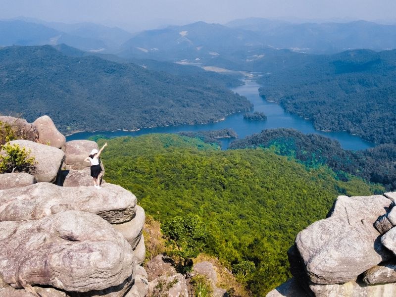
Da Chong Mountain is located in the Bang Ca area, formerly part of Hoanh Bo District and subsequently part of Ha Long City, Quang Ninh Province. This site is renowned for dozens of natural rock boulders precariously stacked atop one another at an elevation of over 400m, creating a unique landscape amidst the mountains and forests. From this elevated vantage point, I could gaze out over Yen Lap Lake, lush woodlands, and the small islets scattered below.
My trip to Quang Ninh and the trek up Da Chong Mountain brought me many memorable experiences. As I climbed higher, the scenery expanded with undulating mountain ranges, the emerald lake nestled in the valley, and massive, uniquely shaped rocks. Standing amidst this scenery, I truly felt the vastness of nature and temporarily left behind the hustle and bustle of daily life.
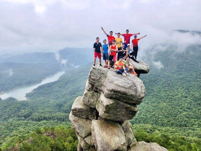
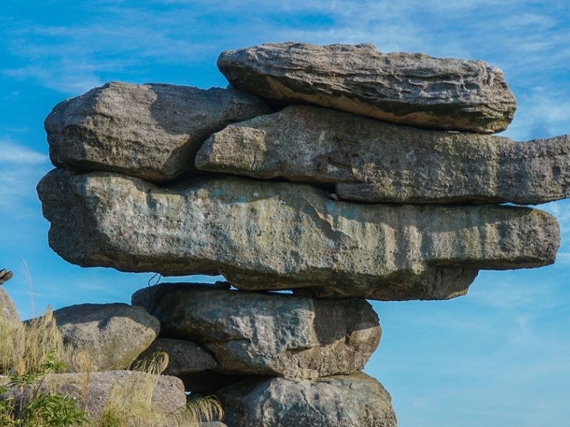
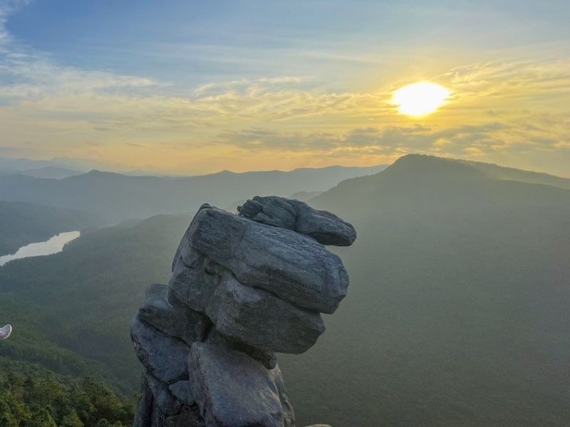
From what I learned, the name Da Chong Mountain originates directly from the natural formation of the boulders on the peak. Here, dozens of large slabs are stacked on top of one another, with several protruding outward over the mountainside to create a remarkably precarious posture. This rustic name helps locals and travelers easily identify the landmark based on its most prominent geological feature.
Bang Ca locals also pass down a legend that deities once placed additional stone slabs to balance both ends of the mountain range, giving rise to today's Da Chong outcrop. This is a folk legend explaining the bizarre shapes of the rocks, rather than a scientific explanation of geological formation.
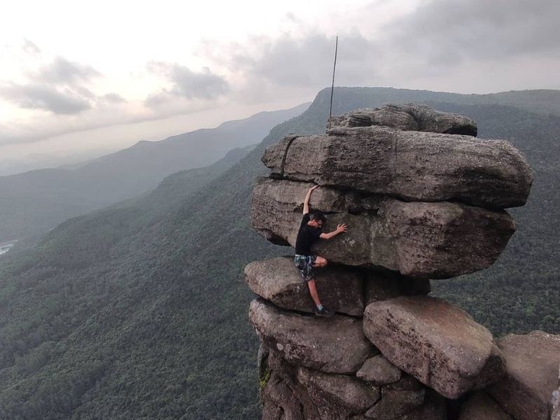
Approaching the Da Chong area, I could clearly observe the sheer size, contours, and natural arrangement of each rock slab. Viewed from various angles, the rock cluster feels both bizarre and majestic, serving as the most remarkable highlight of the expedition.
From the Da Chong Mountain area, I could look down upon Yen Lap Lake with its vast water surface, dotted islets, and surrounding pine forests stretching into the distance. After rainy days followed by sunshine, clouds occasionally drift along the mountainside, blanketing the forest and lake bed to create a misty, ethereal scene. This is also when I could truly appreciate the harmonious blend of rocky peaks, lush forests, and serene waters in a single panoramic view.
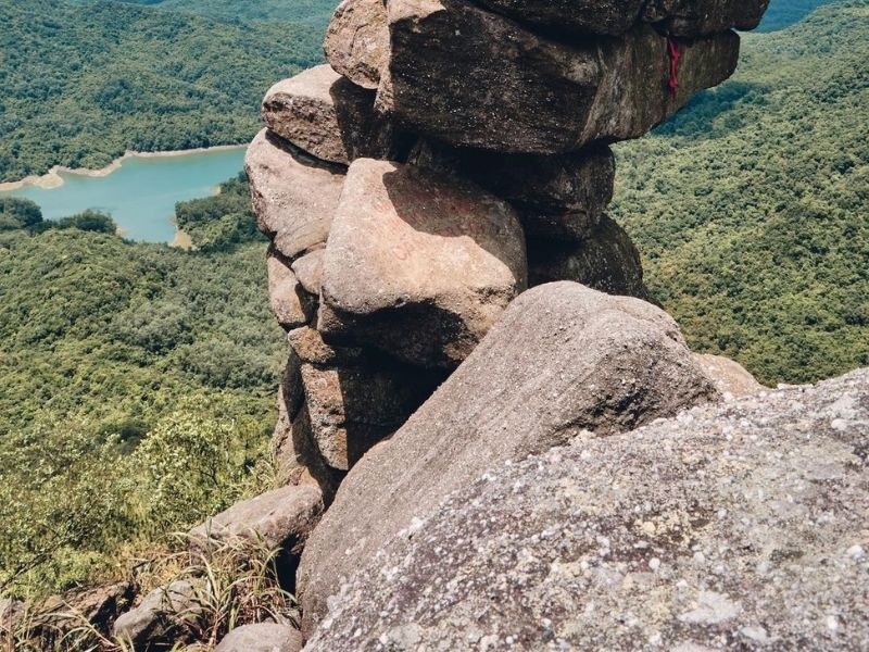
Da Chong Mountain offers diverse photography angles featuring rocks, lush forests, the lake, and rolling mountain ranges in the distance. I usually chose flat ground, took advantage of natural light, and framed the landscape to capture depth. When taking photos, you should keep a safe distance from cliff edges and avoid hazardous spots just to get a distinctive shot.
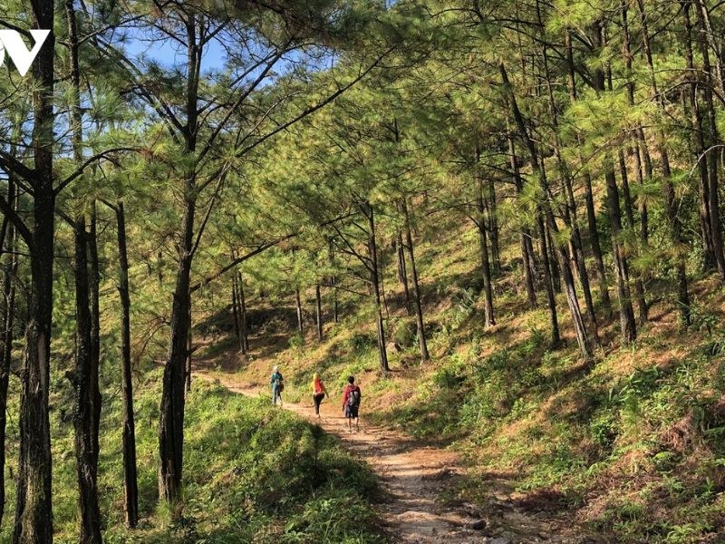
Walking through forest trails was an experience that let me truly sense the wild, untouched beauty of Da Chong Mountain. Along the way, I could observe diverse flora, listen to birdsong, and enjoy the tranquil atmosphere of the mountains and woods. Certain sections are quite steep and hard to navigate, so I always traveled in a group, stayed close to the guide, and never wandered off on my own.
After exploring Da Chong Mountain, you can combine your trip with visits to several nearby attractions to enrich your itinerary:
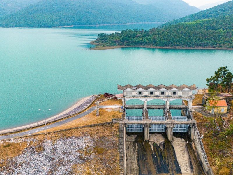
Da Chong Mountain is located about 40km from the center of Ha Long. From Ha Long, I traveled toward the Hoanh Bo area, then followed National Route 279 for about 19km to reach Khe Lieu, which formerly belonged to the Bang Ca area. On maps, you should still search for keywords such as "Bang Ca", "Khe Lieu", or "Yen Lap Lake" to easily identify the route.
From Khe Lieu, I rented a boat across Yen Lap Lake for about 45 minutes to reach Khe Mung. From there, the journey continued with a forest trek of about 1.5 hours to reach the Da Chong area. Because the forest trail features many steep sections and is difficult to follow, I recommend contacting locals or a guide familiar with the trekking route, and avoiding navigating solely by GPS without prior experience.
The period from November to April of the following year is the most favorable time to trek Da Chong Mountain. This is the dry season in Quang Ninh, so forest trails are generally drier, visibility is clearer, and navigating steep slopes is much more manageable.
You should choose a mildly sunny day, depart in the morning, and avoid trekking during rain, thick fog, or strong winds. The rainy season in Quang Ninh typically runs from May to October, which easily makes dirt trails, rocks, and lakeside areas slippery. Before your trip, I recommend checking the weather forecast and postponing your journey if conditions are not safe.
The route to Da Chong Mountain has many steep inclines, indistinct forest trails, and rugged terrain. Therefore, I share several safety tips to ensure a safer journey.
I hope these insights help you better prepare regarding the timing, route, and equipment for your adventure. Since the trip involves crossing a lake by boat and hiking through the forest, leave bulky luggage at your accommodation and carry only a compact backpack with essential items for a more convenient and safe trek.
On this site
No reviews yet
Pick another group of services to complete your trip.

Take a 360° walk first to plan a complete trip.
Dam Ha boasts advantages in expansive marine spaces, pristine landscapes, diverse ecosystems, and a community life closely attached to the sea. This serves as the foundation for the locality to develop diverse and…
Read more
A guide to 10 pagodas in Quang Ninh worth visiting for spiritual travel, from Yen Tu and Ba Vang to Cai Bau, Long Tien, Loi Am, and the ancient temples of Dong Trieu.
Read more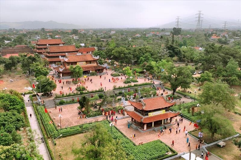
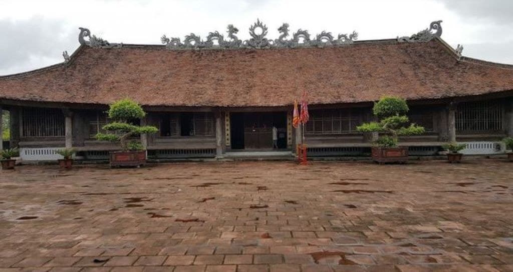
A brief introduction to Quynh Lam Pagoda, one of the ancient and renowned temples perched on the mountains of Quang Ninh. Discover the unique historical and cultural highlights of this exceptionally famous pagoda.
Read moreClosest to this place


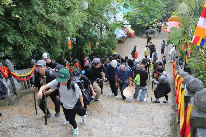






Comments (0)